Find out which license is right for you:
All of CAD-Earth Basic commands.
Import and export images and objects to Google Earth™.
Import terrain configurations from Google Earth™, draw contour lines, and create cross sections or profiles.
Slope zone analysis.
All of CAD-Earth Basic and Plus commands.
Import terrain configurations from Google Earth™, draw contour lines, and create cross sections or profiles.
Slope zone analysis.
Create videos with 4D animation.
Advanced mesh options.
Import and export 3D models to Google Earth.
See a side by side comparison of all CAD-Earth versions.

See a side by side comparison of all CAD-Earth versions.

See a side by side comparison of all CAD-Earth versions.


What’s the difference between CAD-Earth Basic, Plus and Premium versions? With CAD-Earth Basic you can import and export images and objects to Google Earth™. With CAD-Earth Plus, you can additionally import terrain configurations from Google Earth™, draw contour lines, and create cross sections or profiles. CAD-Earth Plus also allows you to perform slope zone analysis, along with many other additional features. CAD-Earth Premium is the most complete option, allowing Basic and Plus commands along with 4D animation and advanced mesh options.
Note: CAD-Earth® works within AutoCAD and AutoCAD-based products, such as Civil 3D, Map 3D, Plant 3D, Architecture, among others, versions 2021 to 2025 on Windows 64-bit platform. CAD-Earth does not work on Mac, Revit or AutoCAD LT platforms. We recommend downloading and evaluating the CAD-Earth demo to see if it meets your needs. Please see a comparison table of all CAD-Earth versions.
| CAD-EARTH AVAILABLE FEATURES | CAD-EARTH BASIC | CAD-EARTH PLUS | CAD-EARTH PREMIUM |
|---|---|---|---|
| Georeference drawing commands | |||
| Grab map/image | |||
| Import image from Google Earth™
| |||
| Import objects from Google Earth™
| |||
| Export CAD screenshot to Google Earth™
| |||
| Export CAD Objects to Google Earth™
| |||
| Insert Georeferenced Images
| |||
| Export 3D models to Google Earth™ | |||
| Import 3D models from DAE, 3DS, FBX and OBJ files | |||
| Import terrain mesh from Google Earth™
| |||
| Export terrain mesh to LandXML file
| |||
| Draw contour lines
| |||
| Set mesh visibility
| |||
| Draw cross sections from mesh
| |||
| Annotate cross sections
| |||
| Draw profile from mesh
| |||
| Annotate profile
| |||
| Slope analysis
| |||
| Instantly get cut-fill volume calculations | |||
| Terrain mesh editing and visualization commands | |||
| Import terrain mesh from LiDAR, GeoTIFF and text files | |||
| Create mesh from contour polylines | |||
| Earthwork volume calculations by the grid method. | |||
| Earthwork volume reports in Excel™ format. | |||
| View the surface by elevation or slope ranges | |||
| Display instant contour lines | |||
| Create animation videos | |||
| Measure distance, slope and angles directly on the mesh | |||
| Inspect an orthographic view of a mesh cross section | |||
| Take a screenshot of the current view |

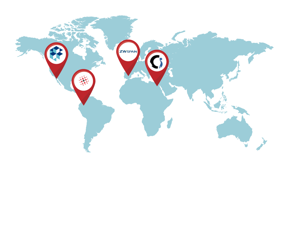
CIVIL SOFTWARE SOLUTIONS S.C.
[email protected]
www.civilcad.com.mx
Tel: (+52) 664-682-1401
ZWSPAIN
[email protected]
www.zwspain.com
Tel. (+34) 912-210-670
Central de Soluciones
[email protected]
www.centraldesoluciones.com
+57 (1) 601 8844
Grapheast - Egypt
[email protected]
www.grapheastegypt.com
Tel. +202 27945203 / +20122 2288279

| FEATURE | CAD-EARTH | OTHER APPS |
|---|---|---|
| Import curvature corrected high resolution tiled images | ||
| Import objects from Google Earth™ or from KML/KMZ files. | ||
| Export drawing entities to Google Earth™ KML/KMZ files
| ||
| Export a drawing as an image overlay to Google Earth™
| ||
| Import terrain mesh inside a closed polyline.
| ||
| Import terrain mesh along a path.
| ||
| Commands to edit terrain meshes. | ||
| Export 3D models to Google Earth™ | ||
| Import 3D models from file | ||
| Import terrain mesh from text file
| ||
| Import terrain mesh from LiDAR and DEM files.
| ||
| Import terrain mesh from LandXML file.
| ||
| Create terrain mesh from points.
| ||
| Create mesh from polylines
| ||
| Create mesh from 3D faces.
| ||
| Export terrain mesh to LandXML file
| ||
| Terrain mesh visualization styles.
| ||
| Historical imagery.
| ||
| Mesh 3D Viewer | ||
| Mesh Explorer | ||
| Insert georeferenced image | ||
| Get cross sections and profiles from terrain mesh | ||
| Georeferencing. | ||
| Insert images, objects and terrain meshes without georeferencing the drawing. | ||
| Technical Support | ||